top of page
Home
Portfolio
Log In
Get a Quote
Back
Portfolio
Previous
01
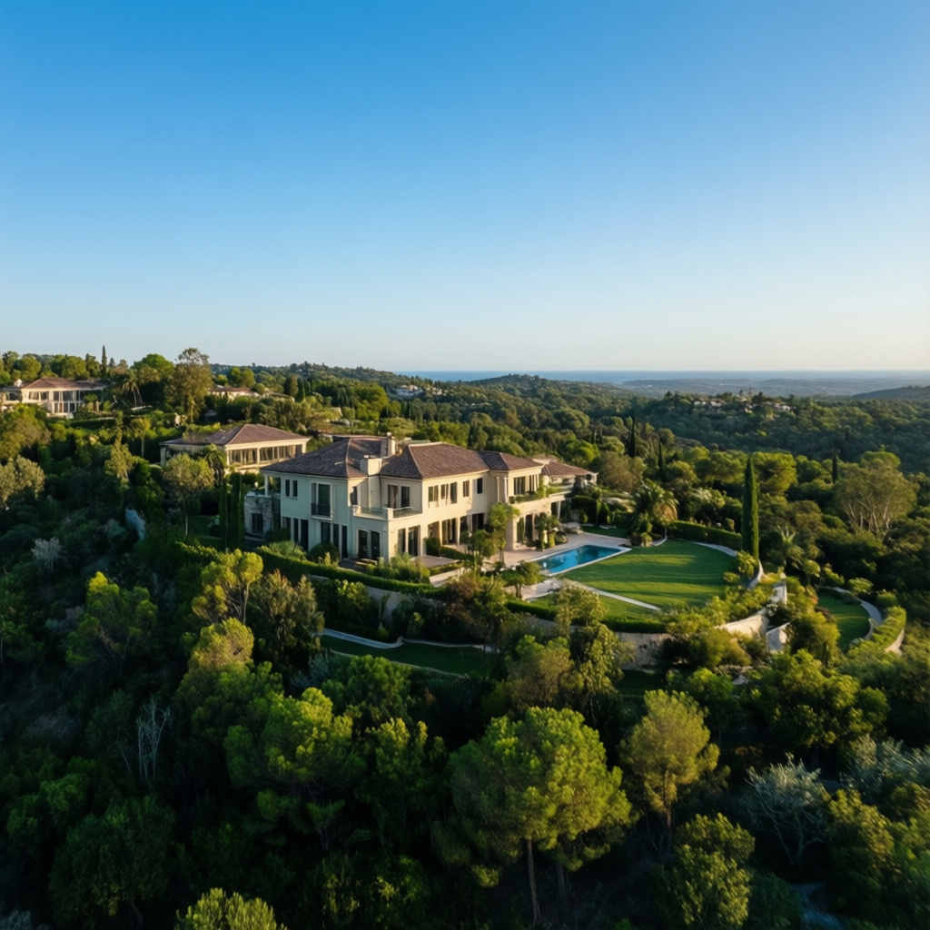
Elevated Property Views
Enhance real estate listings with breathtaking aerial photography and videography. Showcase properties, land, and surrounding areas from unique vantage points, increasing buyer interest and accelerating sales for agents and owners.
02
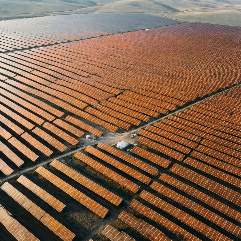
Site Inspection Solutions
Conduct detailed visual and thermal inspections for critical infrastructure like solar panels, rooftops, and construction sites. Identify potential issues, damage, or wear with precision, reducing risk and optimizing maintenance schedules for clients.
03
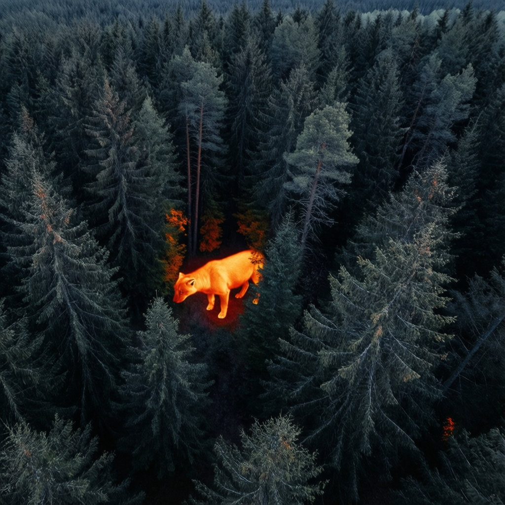
Thermal Wildlife Tracking
Utilize advanced thermal imaging drones for discreet wildlife tracking and monitoring. Essential for hunting expeditions, aiding in efficient and ethical game location. Provides crucial data for animal procurement and population studies.
04
Aerial Business Showcase
Provide dynamic, high-resolution aerial footage for commercials, marketing campaigns, and promotional videos. Capture stunning perspectives of businesses, products, and events to enhance brand appeal and engagement. Focuses on professional-grade visual storytelling.
05
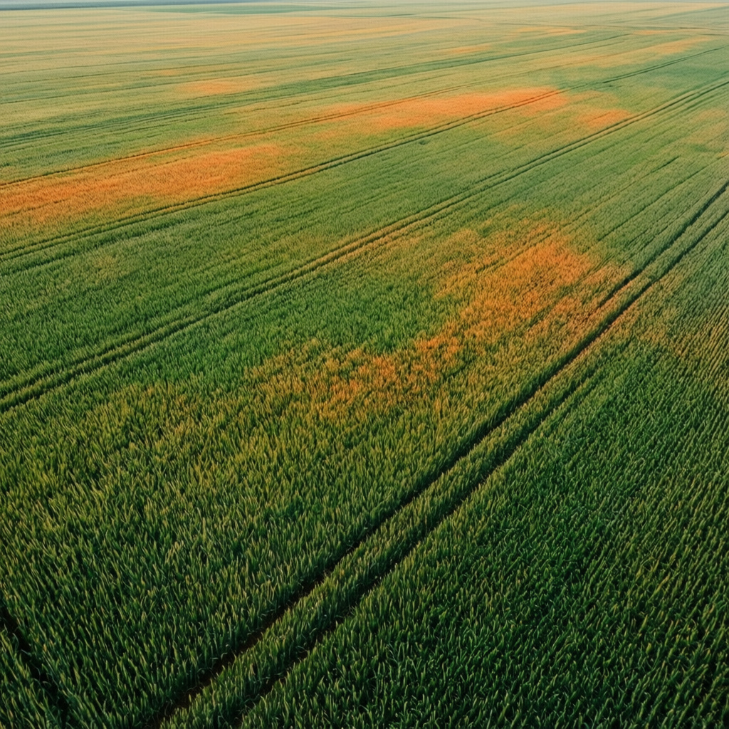
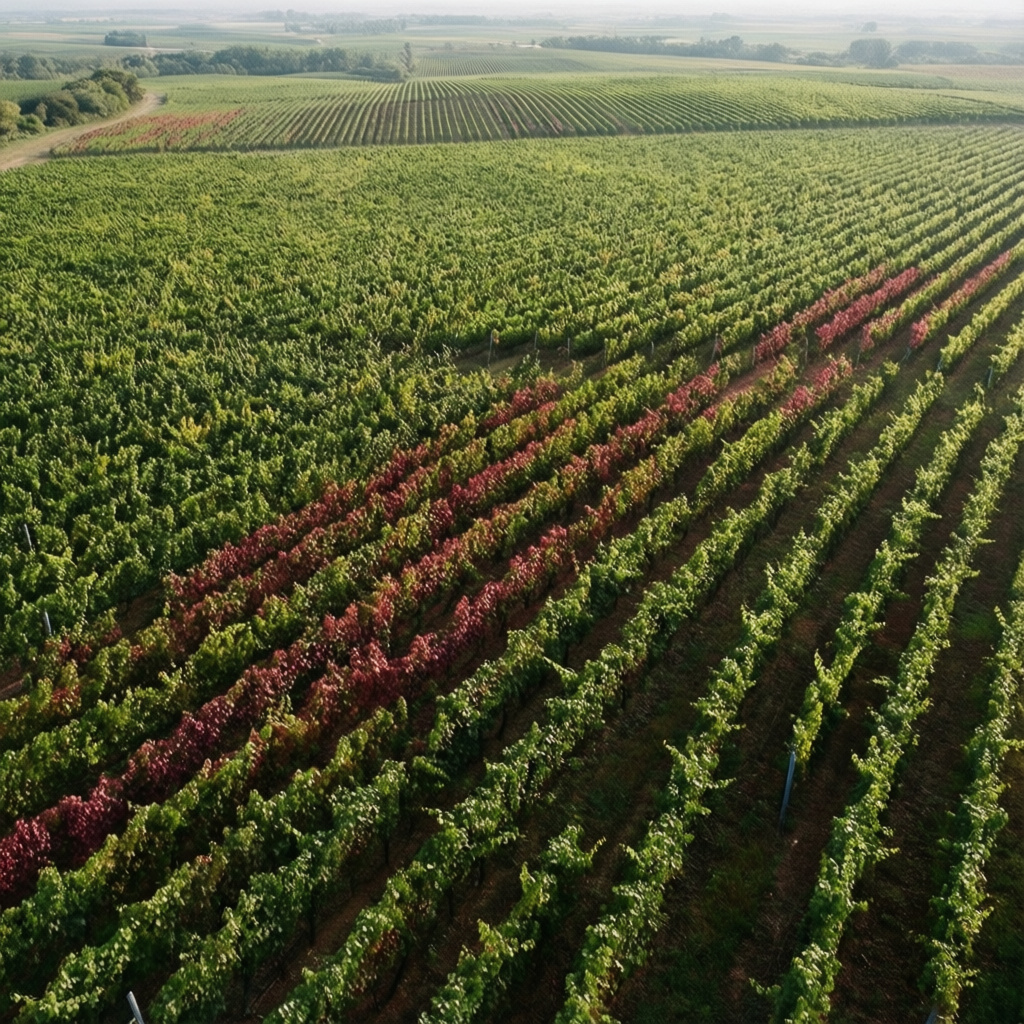
Crop Health Monitoring
Support farmers with advanced aerial imagery for precise agriculture. Monitor crop health, identify irrigation issues, analyze field conditions, and optimize resource management for improved yields and sustainability.
06
Targeted Pest Surveys
Offer specialized drone services for pest control operations. Conduct aerial surveys to precisely locate and map pest infestations in large agricultural fields or inaccessible areas, enabling more targeted and effective treatment strategies.
Next
01 / 06
Close
Previous
Next
Elevated Property Views
Enhance real estate listings with breathtaking aerial photography and videography. Showcase properties, land, and surrounding areas from unique vantage points, increasing buyer interest and accelerating sales for agents and owners.
Go to link
01
Elevated Property Views
Enhance real estate listings with breathtaking aerial photography and videography. Showcase properties, land, and surrounding areas from unique vantage points, increasing buyer interest and accelerating sales for agents and owners.
02
Site Inspection Solutions
Conduct detailed visual and thermal inspections for critical infrastructure like solar panels, rooftops, and construction sites. Identify potential issues, damage, or wear with precision, reducing risk and optimizing maintenance schedules for clients.
03
Thermal Wildlife Tracking
Utilize advanced thermal imaging drones for discreet wildlife tracking and monitoring. Essential for hunting expeditions, aiding in efficient and ethical game location. Provides crucial data for animal procurement and population studies.
04
Aerial Business Showcase
Provide dynamic, high-resolution aerial footage for commercials, marketing campaigns, and promotional videos. Capture stunning perspectives of businesses, products, and events to enhance brand appeal and engagement. Focuses on professional-grade visual storytelling.
05
Crop Health Monitoring
Support farmers with advanced aerial imagery for precise agriculture. Monitor crop health, identify irrigation issues, analyze field conditions, and optimize resource management for improved yields and sustainability.
06
Targeted Pest Surveys
Offer specialized drone services for pest control operations. Conduct aerial surveys to precisely locate and map pest infestations in large agricultural fields or inaccessible areas, enabling more targeted and effective treatment strategies.
Elevated Property Views
Site Inspection Solutions
Thermal Wildlife Tracking
Aerial Business Showcase
Crop Health Monitoring
Targeted Pest Surveys
bottom of page